Escalante, Boulder and the Hole in the Rock Trail in Utah
Fall 2010
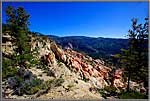
This is a spectacularly scenic part of the southwestern desert. Escalante and Boulder were the two last towns in the United States to have their mail delivered on horseback. When you drive parts of the road between them you understand why.
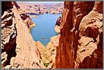
From both Escalante and Boulder one can undertake side trips which are very adventurous and scenic. From Escalante, a dirt road to the North leads through the Dixie National Forest to the remote Hell’s Backbone Bridge. This mountain-top structure has some vivid scenic vistas with no sign of civilization in sight.Also running southward out of Escalante there is a truly historic road over which in 1879-80 a Mormon party in 80 covered wagons attempted to reach southeastern Utah but ran into a 1200-foot cliff above the Colorado River. This route is known as the Hole in the Rock Trail, since the crevasse to which it leads is called the Hole in the Rock. Standing there today, one wonders how in the world this small party ever got those wagons down the crevasse they chose.
The Hole in the Rock Trail
The Hole in the Rock
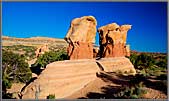
There are two scenic wonders along on the Hole in the Rock Trail. One is a bizarre stone garden of eroded sandstone formations known as the Devil’s Garden. In either the light of early morning or late afternoon, these formations have a gargoyle look that is a delight to capture.
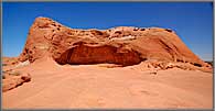
The other is an immense Hollywood-Bowl-shaped formation known as Dance Hall Rock, where indeed the Mormon travelers stopped off for festivities.
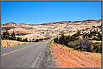
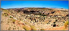
Ten miles out of Escalante on the way to Boulder, a scenic overlook at Head of the Rocks looks down on an immense, sweeping road below by which vehicles get from the high plateau to the valley.
“Most Beautiful Road in America”
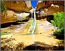
Another few miles along this road is the Calf Creek Recreation Area, the trailhead for the hike to the magnificent Lower Calf Creek Falls. The hike is enjoyable, but there is a lot of it.Another unusual, even unique sight just beyond Calf Creek on the way to Boulder is a section of road known as the Hogback Road. One section of this road (shown in the videos) is a two-lane macadam road with a one thousand foot dropping off on either side.
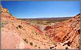
From Boulder, the Burr Trail runs southward through very rugged and colorful country across the Grand Staircase Escalante to Capitol Reef National Park. One seven-mile section known as Long Canyon runs through brilliant sandstone formations. This is a playground for photographers both because of the size and the intense colors on these formations.
The Burr Trail and Long CanyonRunning southward out of Boulder is the Burr Trail, a scenic wonder all in itself. On the early part of the road, the surrounding formations are all chalk-white. Then, after a few miles, there is a transition to red sandstone, and we abruptly plunge down into Long Canyon, a seven-mile bacchanalia of red sandstone formations that crowd us on both sides of the road. When we finish with Long canyon, we drive back to Boulder. There we rejoin Scenic Byway 12 and continue to Torrey for our next national park—Capitol Reef.
We download a small library of images to display on each of these gallery pages. That takes a number of seconds, but we think you will very much enjoy the result
Carl Roessler
P.O. Box 33668
Las Vegas, NV 89133
voice: 702.562.0226
| Return to Home Page | E-mail Carl Roessler: divxprt@cox.net | Photos |
|---|
All material in this Web Site is Copyright © Carl Roessler
2025 - All rights reserved.
Maintenance by Patricia
of Visual Ad Worx
Modified 02.27.25