The San Rafael Swell
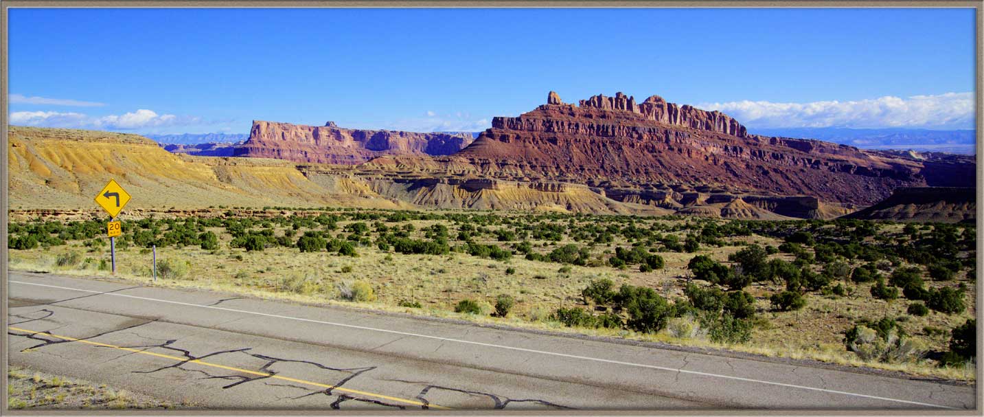
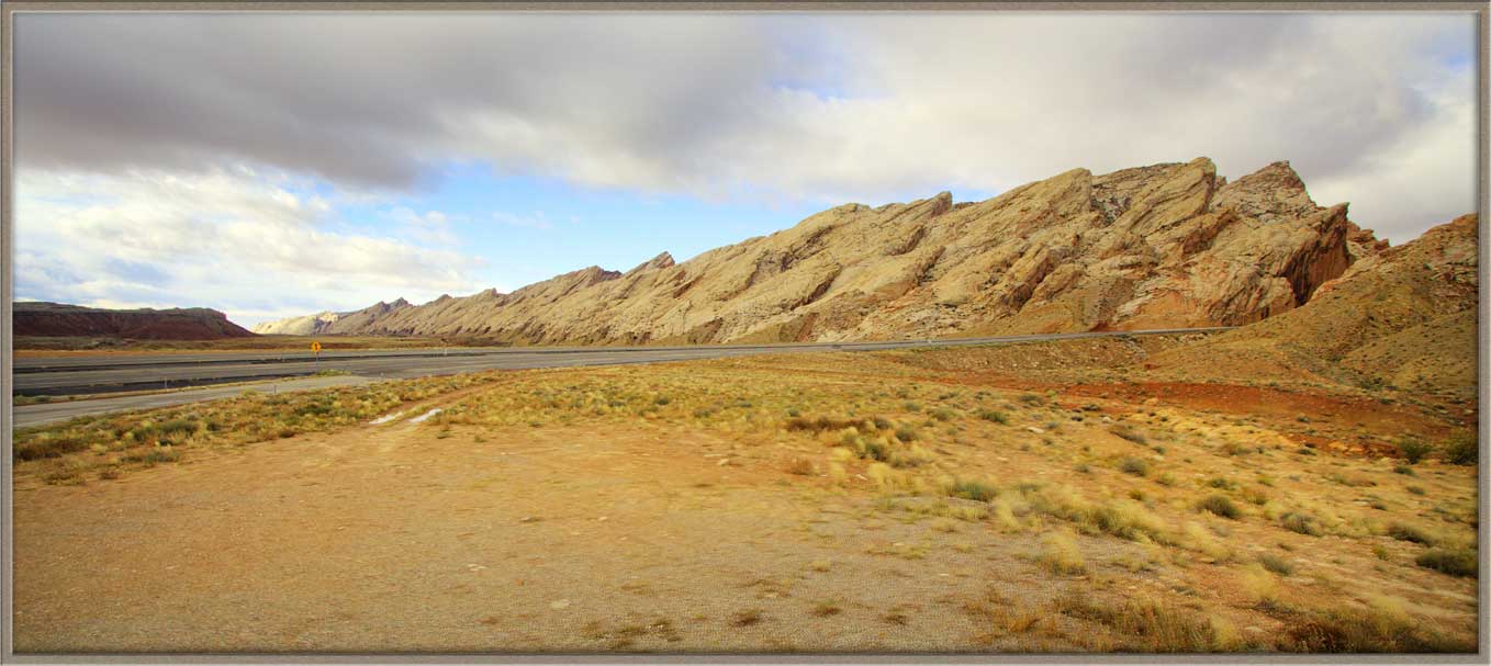
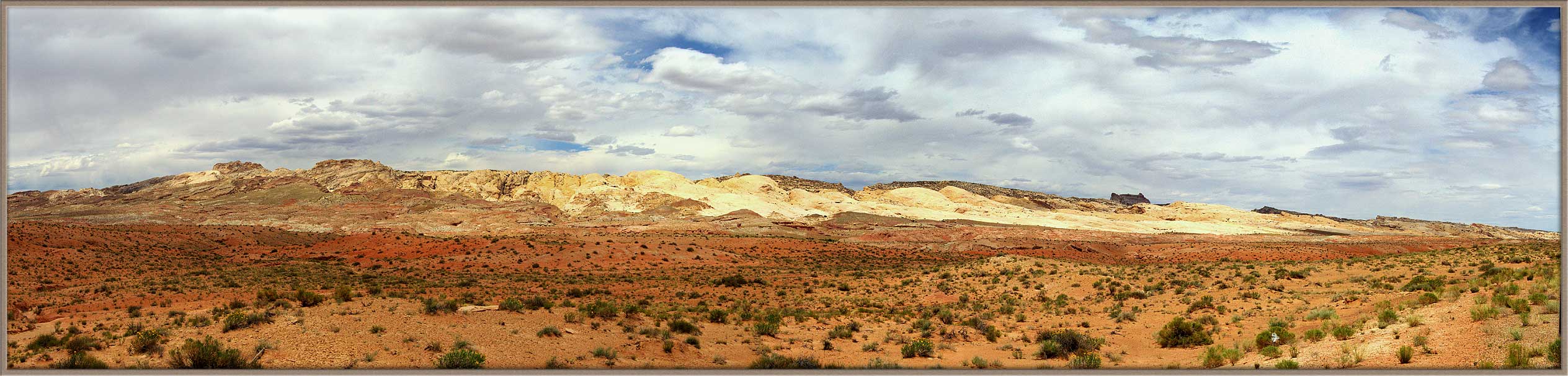
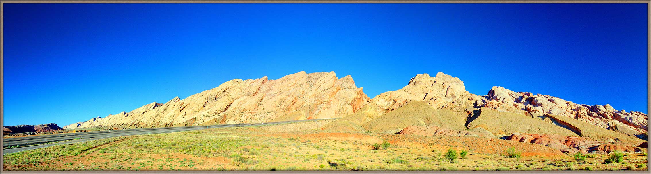
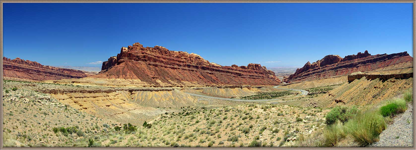
Fall 2011As you drive from the West across Route 70 toward Moab, you encounter two marvels. Ine is a colossal cliff, which crossed the highway—which had to be cut right through it.
Which means-I’ll have to go back!
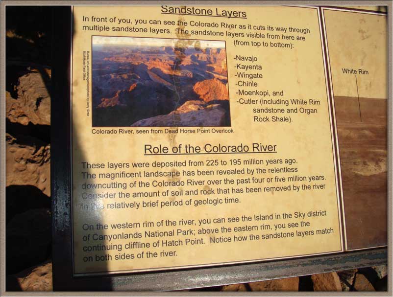
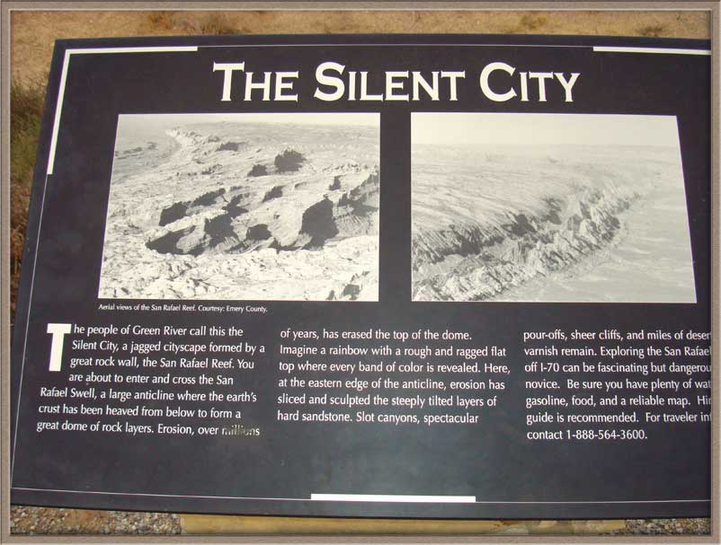
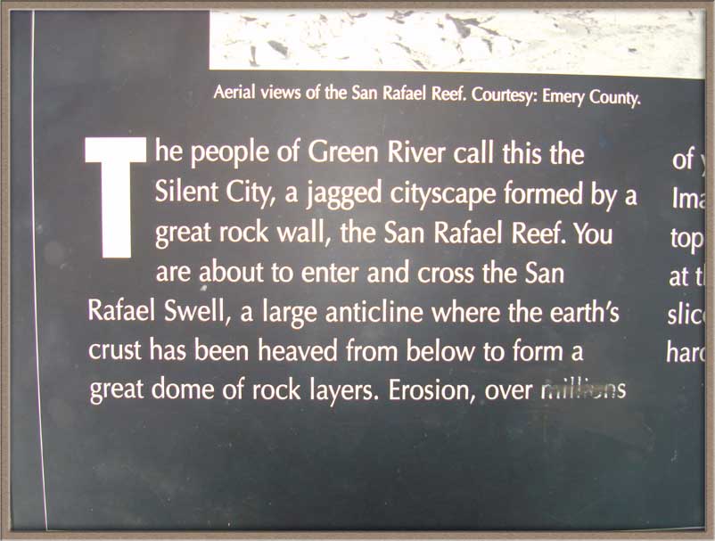
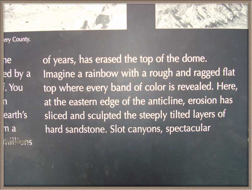
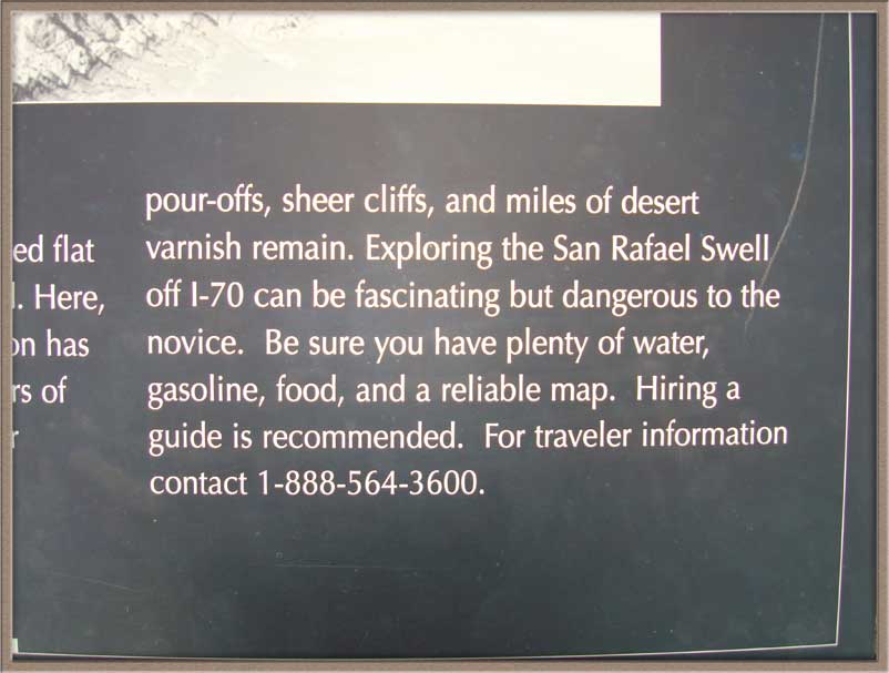
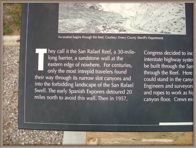
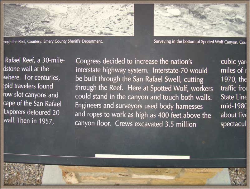
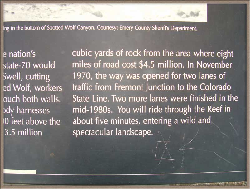
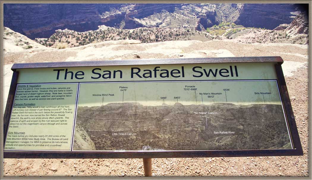
I have included some of the signage which is at the bottom of the pass and at the top (the Black Dragon Pass). The day I was there, it was 20 degrees with a strong wind, so I didn’t hang around for a lot of pictures.
|
|||||||||
|
|||||||||
|
|
|
|||||||
|
|
|
|||||||
|
|
|
|||||||
|
|||||||||
|
|
|
|||||||
|
|||||||||
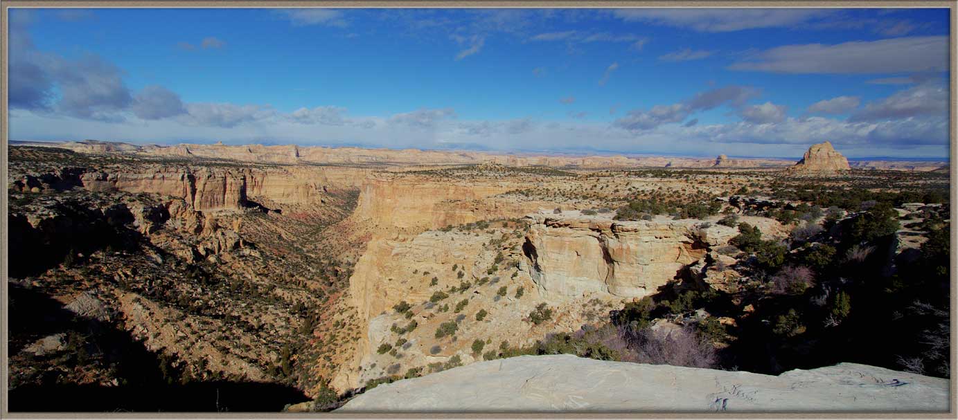
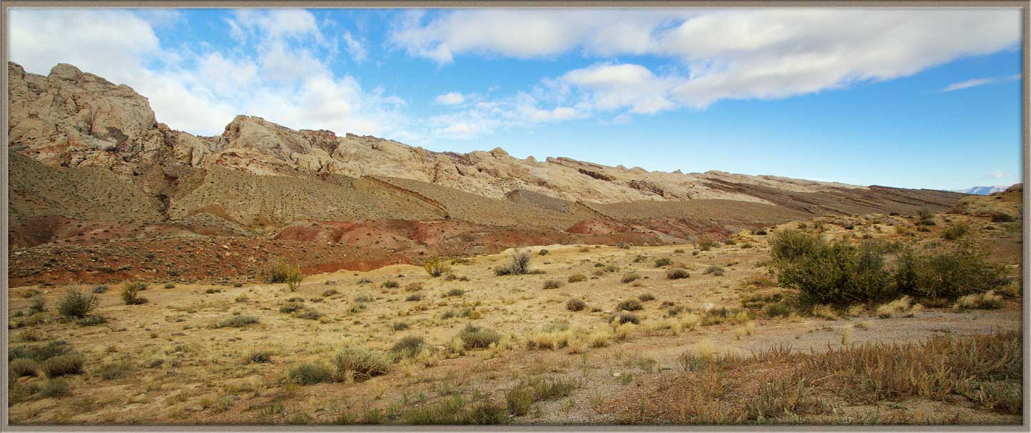
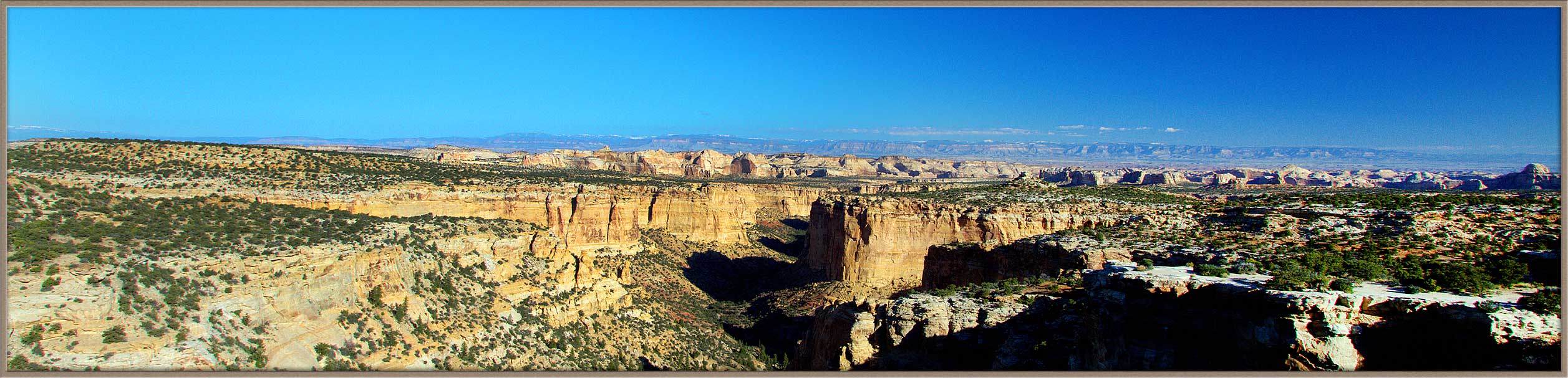
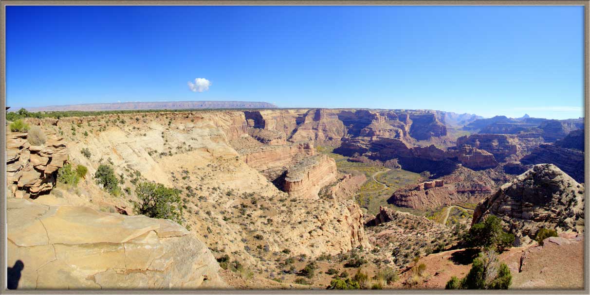
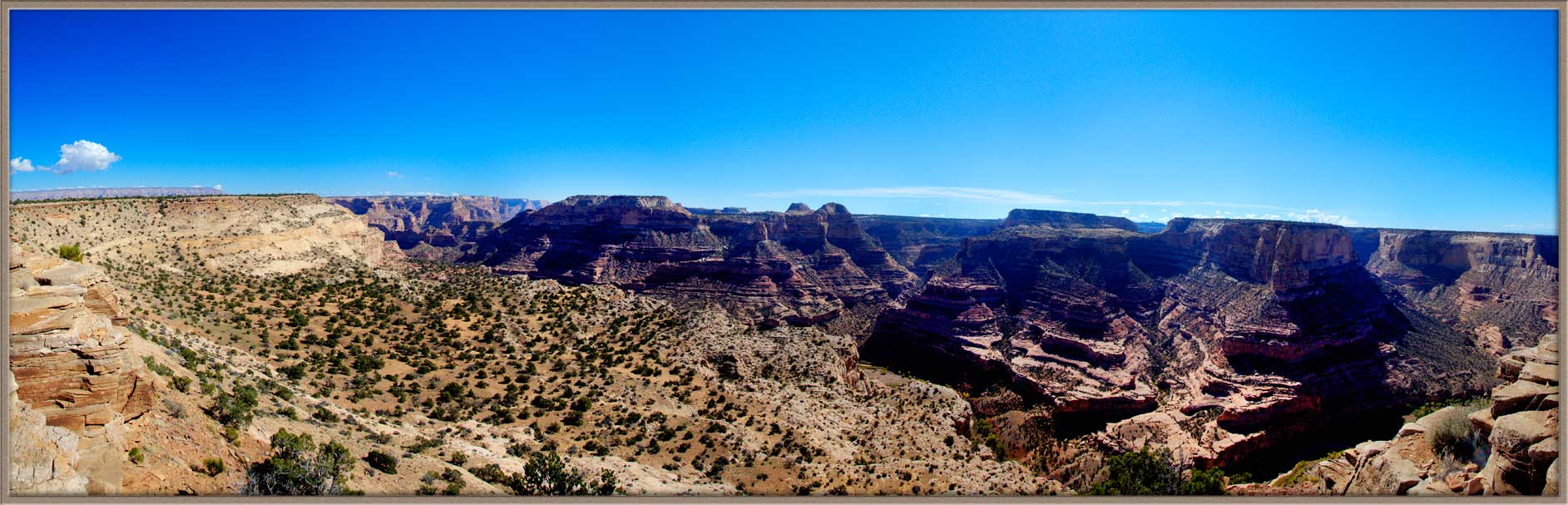
If you turn off the 70 before you reach the San Rafael Swell traveling East, take a turn onto Route 10 and go North 38 miles. Then follow the signs to The Wedge, also called ‘Utah’s Grand Canyon.
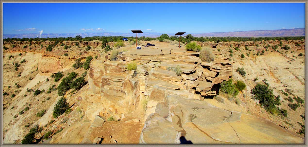
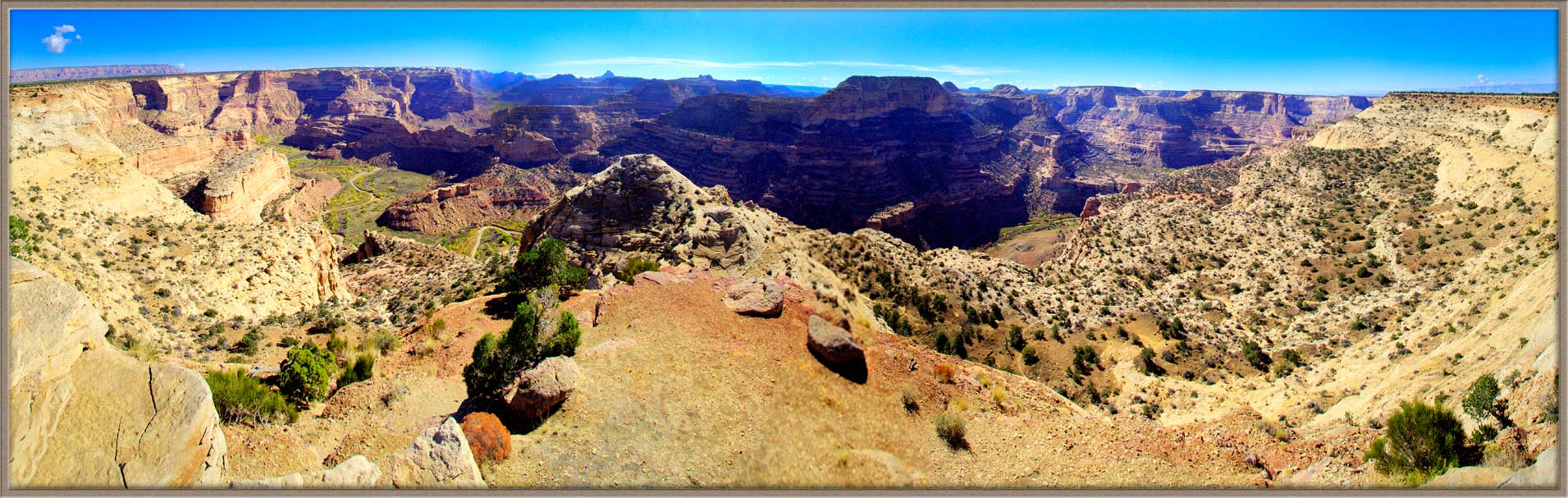
There are two main overlooks, which I tagged in the photos as East and West. Essentially, you are looking down into the enormous valley carved into the stone over eons by the San Rafael River. If you are fortunate to hit a sunny day as I did, the Sun pours down into the chasm and lights up big panoramic images.
 |
 |
 |
 |
 |
Carl Roessler
P.O. Box 33668
Las Vegas, NV 89133
voice: 702.562.0226
| Return to Home Page | E-mail Carl Roessler: divxprt@cox.net | Photos |
|---|
All material in this Web Site is Copyright © Carl Roessler
2025 - All rights reserved.
Maintenance by Patricia
of Visual Ad Worx
Modified 02.26.25